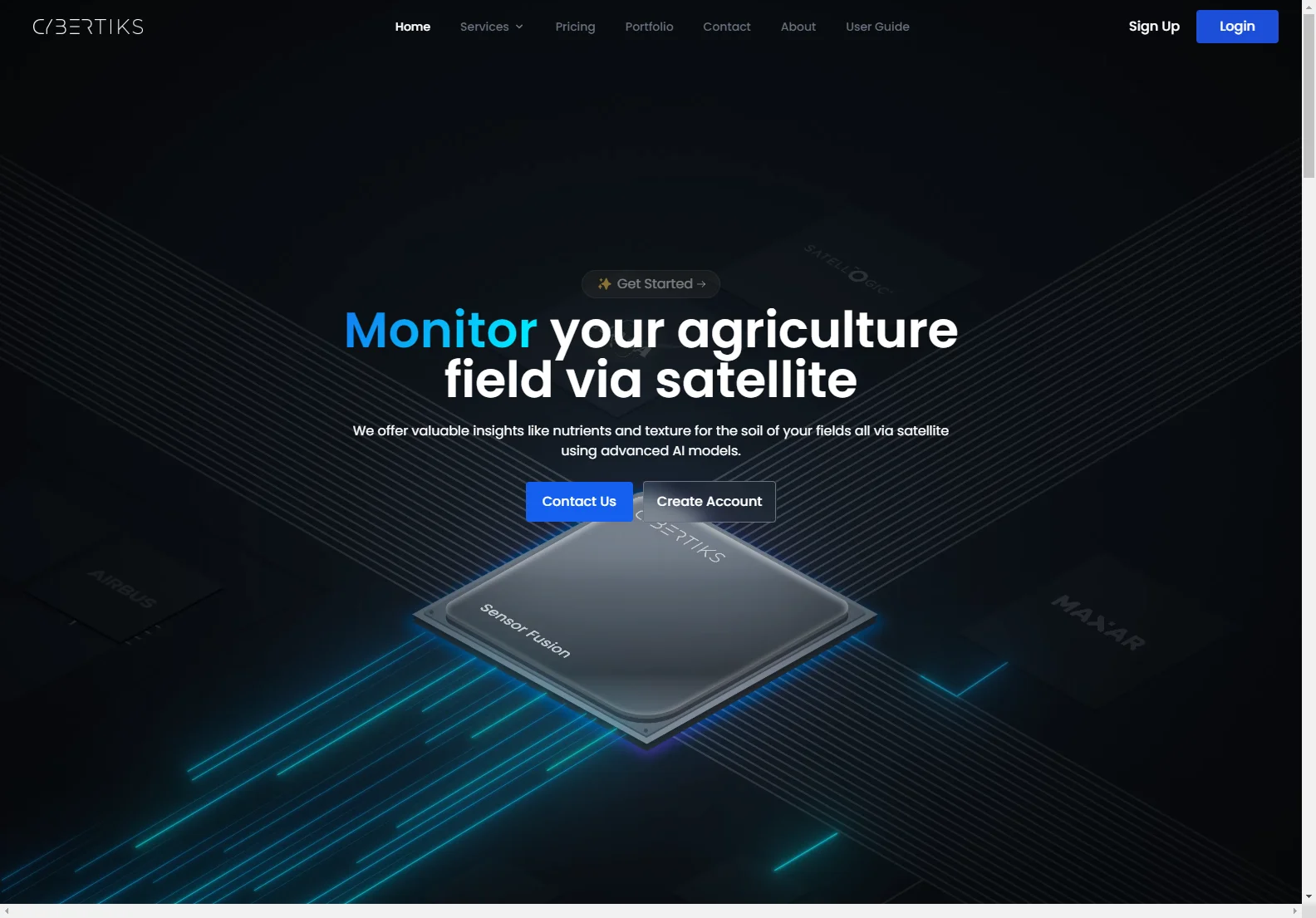
Cybertiks: AI-Powered Satellite Imagery for Agriculture
Cybertiks harnesses the power of satellite imagery and advanced AI to provide valuable insights into agricultural fields. Our platform allows users to monitor soil nutrients, texture, and other key metrics remotely, optimizing yields and improving efficiency.
Key Features
- Remote Field Monitoring: Analyze any field globally using satellite data.
- AI-Driven Analysis: Our AI models provide accurate (80%+ accuracy) metrics on soil conditions.
- Historical Data: Access historical satellite imagery for long-term analysis.
- Regular Updates: Receive updated field status and analysis every 7 days.
- User-Friendly Interface: Easily view results on an interactive map with high resolution (up to 100m2).
How it Works
- Create Fields: Input field coordinates by drawing the outline on the map.
- View Historical Insights: Access historical metrics from the satellite archive.
- Monitor Field Status: Track changes in field conditions over time.
- View Results: Analyze results displayed on a detailed map.
Technology
Cybertiks leverages cutting-edge technologies:
- Satellite Imagery: We utilize high-resolution satellite data for comprehensive analysis.
- Artificial Intelligence: Our AI models are trained on thousands of fields, ensuring accuracy and reliability.
- Data Integration: We integrate data from various sensors (optical, radar, etc.) for a holistic view.
- QSIS (Quantitative Soil Information System): We employ thermodynamic information from electromagnetic sensors to classify and quantify natural resources.
- Software Development: Our custom SaaS platform provides a seamless user experience.
Benefits
- Improved Efficiency: Optimize resource allocation and reduce operational costs.
- Enhanced Decision-Making: Make data-driven decisions based on accurate field insights.
- Increased Yields: Improve crop yields by understanding soil conditions.
- Sustainable Agriculture: Promote sustainable practices through precise monitoring.
Comparisons
Cybertiks distinguishes itself from competitors by offering a comprehensive platform that combines high-resolution satellite imagery with advanced AI algorithms. Unlike other solutions that may focus solely on one aspect of field analysis, Cybertiks provides a holistic view of field conditions, enabling more informed decision-making.
Conclusion
Cybertiks offers a powerful and user-friendly solution for farmers and agricultural businesses seeking to optimize their operations and improve yields. Our AI-powered platform provides valuable insights into field conditions, empowering users to make data-driven decisions and achieve sustainable growth.

